| |||||
|
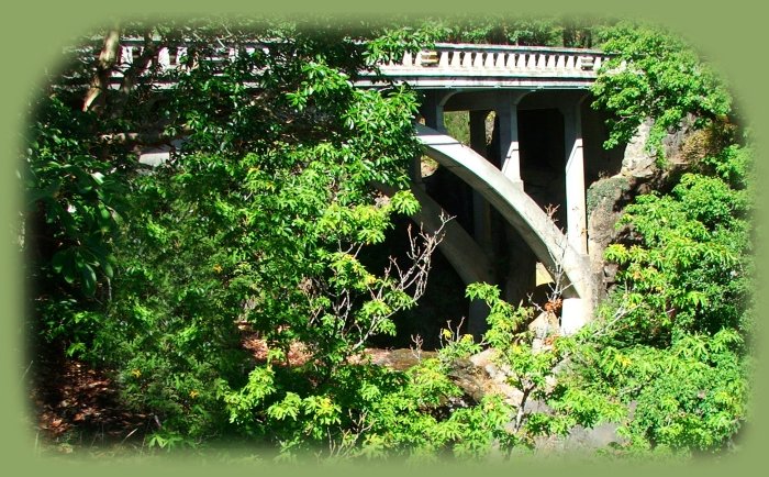
Mill Creek Bridge and the Avenue of Giant Boulders | |||||
|
Our Getaways offer written Directions, Maps and suggested scenery, spanning Oregon and northern California; places Brad and I have visited and loved. These getaways offer simplicity, yet beauty in vistas, waterfalls, hiking trails, campgrounds, mountains, hot springs, mountain lakes, equestrian trails, mountain biking trails, wild and scenic rivers, scenic byways, Crater Lake National Park, national monuments and more. Protect our National Forests and Wilderness Areas. Leave NO Trace! | |||||
|
Forward ~ The Surprise Valley, Warner Mountain "Outback" Tour Guide. Back ~ Map for the Diverse Loop Tour. USFS: Rogue Siskiyou National Forest. Brad and I invite you to explore the Diverse Loop Tour including Crater Lake National Park and waterfalls, the Rogue River Gorge in Union Creek, hiking trails, the Cascade Mountains, Prospect Historic Hotel, Mill Creek Bridge, the Natural Bridge and more: Directions and Map. |
|
||||
|
Recreation, Vacation Travel, Sightseeing, Hiking and more | |||||
|
Crater Lake National Park: Introduction. Mt McLoughlin in the Cascade Mountains, a view from the southwest, photographed from Dead Indian Memorial Road out of Ashland, Oregon. Ashland, Oregon: Hills and Canyon, Lithia Park: page 1, page 2, page 3. Prospect, Oregon: Pearsoney Waterfall, page 1, Mill Creek Bridge and Canyon, page 2 The Avenue of Giant Boulders, page 3 and page 4, Mill Creek Waterfalls, page 5, Barr Creek Waterfalls, page 6 and Mt McLoughlin viewed from the access road leading out of Prospect to connect with the Crater Lake Hwy, Hwy 62, page 7. Hiking on the Rogue River Hiking trail accessed from the Crater Lake Hwy: Hiking the segment from Woodruff Bridge picnic area to the River Bridge campground: page 1 page 2. Hiking the segment from Woodruff Bridge to the Natural Bridge if heading north or Woodruff Bridge to the River Bridge if heading south, page 3, page 4. Hiking from Woodruff Bridge to the Natural Bridge on the Rogue River Hiking Trail: Knob Falls, page 5 and page 6. Hiking the Natural Bridge segment of the Rogue River Hiking Trail: page 7, page 8, page 9 and approaching Union Creek, page 9. Hiking or taking a leisurely stroll on the Rogue Gorge at Union Creek, page 10, page 11 and page 12. Taking a brief stop from driving to just enjoy the river, page 13 and at another stop, page 14. Rogue Umpqua Scenic Byway: National Creek Waterfalls, page 1 and page 2, Rabbit Ears viewed from Hwy 230, page 3, Mt Thielsen viewed from Hwy 230 looking south, page 4 and from the Diamond Lake viewpoint on Hwy 138, page 5, Mt Bailey and Diamond Lake viewed from the Diamond Lake viewpoint on Hwy 138, page 6. | |||||
|
Travel southern Oregon and nearby Crater Lake National Park while staying at | |||||

|
Travel to the retreat from Medford, Oregon. Travel Directions to and Day Trips of about 100 miles Little known Special Scenic Places near the retreat and Website Directory for the travel pages
Home Page Contact Brad at Gathering Light ... a retreat. | ||||