|
Mt
McLoughlin | |

| |
|
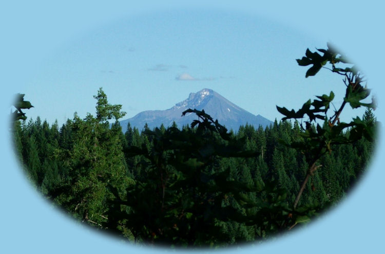
Mt Thielsen is 290,000 years old and all that's left is the central plug sitting atop the remains of earlier lava flows. The smooth sides of the mountain, so evident in this photograph, are composed of ash, deposited when Mt Mazama, the mountain that now holds Crater Lake, erupted 7,600 years ago. The most spectacular views of Mt Thielsen are available from the hiking trail. The trail is accessed on the east side of Hwy 138 near the turnoff to Diamond Lake. The trail in its entirety is 7.9 miles one way. It becomes quite steep, the last 200 feet are nearly vertical. I have not made the hike to the top, myself, although Brad has. No sooner had he reached his destination and a thunder storm broke loose. He had to hurry and get out of there, for as I've said elsewhere, Mt Thielsen is known as the "lightning rod" of the Cascades. One can still enjoy the beauty of the wilderness area without hiking the full distance of the trail. A breath taking view of Thielsen can be had just 1.6 miles into the hike at the Spruce Ridge Trail junction, hike 2.9 miles to the junction with the Pacific Crest Trail and it's possible to see the glacial activity on the mountain peak. The trail degenerates - if I might use that word - to a scramble trail up the side of the mountain at the last. To continue your drive, just head south, the Rogue Umpqua Scenic Byway intersects with the Crater Lake Hwy. Head south and you'll see the Rogue River Gorge at Union Creek, waterfalls, hiking trails, a historic hotel in Prospect, Oregon. Head east on the Crater Lake Hwy and you'll come to the south entrance of Crater Lake National Park. | |
|
|
Forward ~ The south fork of the wild and scenic Rogue River: Mill Creek Waterfalls. Back ~ A mountain path through the Cascade Mountains, traveling to the south Umpqua River in the Umpqua National Forest of Oregon. USFS: The Rogue River Siskiyou National Forest in Oregon. Poison Oak can be a problem at these elevations. Want to see a picture. Indeed, I took this picture near here, at the viewpoint for Mill Creek and Barr Creek Waterfalls! |
|
Explore the Diverse Loop Tour on the Crater Lake Hwy & Rogue Umpqua Scenic Byway: Directions, Map; and Scenery: waterfalls, hiking trails, the Rogue River Gorge at Union Creek, the Natural Bridge on the Rogue River, the Cascade Mountains, Diamond Lake, Crater Lake and more. Crater Lake on the the Umpqua Waterfall Tour, Hwy 138 or the Rogue Umpqua Scenic Byway: Travel Directions, Map and Scenery: wild and scenic rivers, waterfalls, hiking trails; equestrian trails, Crater Lake National Park; hot springs. Want to hike at Crater Lake National Park? Find the hiking trails at Crater Lake in Oregon. Travel Oregon and northern California while staying at Gathering Light ... a retreat | |

|
Travel on the Rogue Umpqua Scenic Byway to the retreat: Directions, Map & Scenery: hiking trails, waterfalls, the wild and scenic Umpqua River; Crater Lake and more. Travel Directions to and Day Trips in Oregon and California of around 100 miles from the retreat. Little known Scenic Places: hiking, sightseeing, wildlife viewing, canoeing, birding at wetlands and national wildlife refuges, and more near to the retreat and Crater Lake National Park: Directions, Map and Scenery. |
|
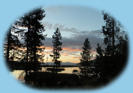
Contact Brad at Gathering Light ... a retreat. Eagle Ridge County Park, Klamath Basin birding trails, pictured above not far from Gathering Light and Crater Lake National Park. | |