Mt McLoughlin the Cascade Mountains of Oregon | |

|
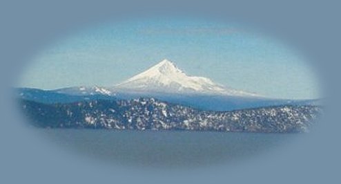
Mt McLoughlin viewed from Dead Indian Memorial Hwy traveling from Ashland, Oregon, connecting with Hwy 140, the Volcanic Legacy Scenic Byway, at Lake of the Woods. Hwy 140 is more frequented: fewer curves, passing lanes, etc, with a different view of the mountain. On 140 watch for lava flows, mountain lakes; access wildlife refuges and wetlands in Klamath Basin at Klamath Lake. |
|
Mt McLoughlin just south of Crater Lake is the tallest peak in the Cascade Mountains between Mt Thielsen in the north and Mt Shasta in the south. As depicted in the photograph below, McLoughlin towers above Klamath Lake in the Klamath Basin where the you'll find the Upper Klamath Wildlife Refuge and Wood River Wetlands in the east. McLoughlin offers a variety of recreation and vacation opportunities: Fish Lake and Willow Lake, mountain lakes easily accessed from Hwy 140. A variety of hiking trails, access to the Pacific Crest Trail, the Mountain Lakes from Varney Trail, the hiking trail up the mountain on the northern flank and more. Access to the Upper Klamath Wildlife Refuge and Wood River Wetlands is possible on the eastern flank presenting the many opportunities Klamath Basin offers to birding enthusiasts. If you're interested in the wetlands, the Upper Klamath Wildlife Refuge is accessed off Hwy 140 at Westside Road after the 43 mile marker if you're traveling east. You'll see signs for Rocky Point - that's the road you want. If you miss the first turnoff, turn left on Rocky Point Road, about .5 mile further east, it will wind around until it ends at Westside Road. Rocky Point has a boat launch for the canoe trails in the wildlife refuge. Find another boat launch at Malone Springs further north, and marked from Westside Road. Be sure to plan ahead. I say this now as fire burns somewhere around Crater Lake, and | |

|
Forward ~ A little detour to lovely Butte Falls in the town of the same name. Back ~ Spring at Lithia Park in Ashland, Oregon. USFS: Rogue River Siskiyou National Forest in Oregon. USFS: Fremont Winema National Forest in Oregon. |
|
Explore Crater Lake National Park on the Diverse Loop Tour, traveling the Rogue Umpqua Scenic Byway, Oregon Hwy 230, and the Crater Lake Hwy, Oregon Hwy 62: Directions, Map; Scenery; Crater Lake Introduction: hiking trails, waterfalls, the Rogue River Gorge at Union Creek, Oregon, the Cascade Mountains and more. Travel Oregon and northern California while staying at Gathering Light ... a retreat | |
|
Travel on the Volcanic Legacy Scenic Byway, Oregon Hwy 140, from Ashland - Medford, Oregon to the retreat: Directions, Map & Scenery: mountain lakes, sky lakes wilderness, lava flows, hiking trails in the Sky Lakes and Mountain Lakes wilderness areas of the Fremont Winema National Forest; Crater Lake National Park nearby, and more. Directions to and Day Trips in Oregon and California of around 100 miles from the retreat. Explore little known places: hiking, wildlife viewing, birding, & more near the retreat & Crater Lake: Directions Map & Scenery. Website Directory for the travel pages Home Page |

|
|
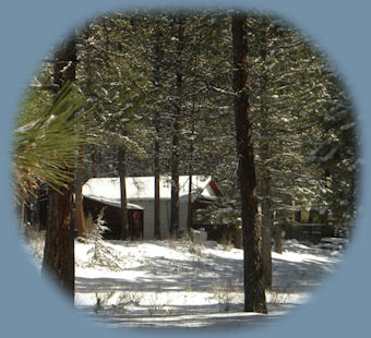
Contact Brad at Gathering Light ... a retreat. Cabin 3 at Gathering Light ... a retreat located near Crater Lake National Park in southern Oregon, pictured above to the right. | |