The Upper Gorge on the Williamson River | |||
|
| |||
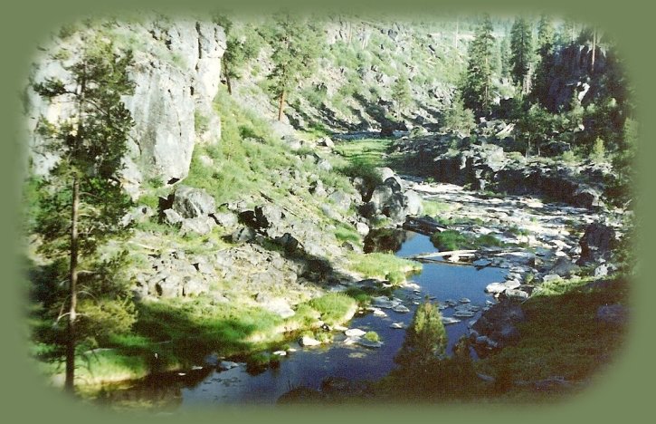
The Williamson River in the Fremont Winema National Forest of OregonThe river's face changes as it flows downstream through the gorge, moving from rugged to serene. At the beginning of the middle gorge; you'll soon encounter the sheer tunnel like walls of the middle gorge, which have been sculpted by winter's watery torrents. - bk The Williamson rises in a swamp, and the vegetation colors its waters, making it look very much of rootbeer. Especially in those places where it falls or forms rapids. :-) Follow the trail from the parking area down into the gorge; then walk wherever you choose or can manage. The first time I did this hike, I was little acclimated to such circumstances as this. I mean, even wilderness areas have trails. Brad wanted to share the area with me, and I was quite willing to go along. We were climbing over boulders the size of small houses, in one circumstance there was only one toehold on the other side of the rock. Brad said, "Put your foot here." I tried, but my leg wasn't long enough and my shin crashed into the rock. The bruise lasted more than a year. Still, I love that place, and we go back to the gorge again and again. :-) | |||
|
|
Forward ~ The Rugged Contrasts of the Back ~ The lower gorge on the Williamson River & Spring Creek on the SE corner of Crater Lake National Park. NPS: Crater Lake National Park USFS: Fremont Winema National Forest. Explore little known Scenic Places near Crater Lake: hiking with and without trails, Klamath Basin birding trails, wetlands, national wildlife refuges, mountains, wilderness areas, river gorges and more. Directions, Map and; Scenery. Mountain promontories on the lower Williamson river gorge in the Fremont Winema National Forest on the southeastern corner of Crater Lake National Park. | ||
|
Protect our National Forests and Wilderness Areas. Leave NO Trace! Be sure to check with the Travel Oregon and northern California while staying at Gathering Light ... a retreat | |||
|
Travel on the Willamette Pass, Oregon Hwy 58, to Gathering Light ... a retreat: Travel Directions, Map & scenery: Hiking trails, waterfalls, mountain lakes, mountains, wilderness areas & more. Directions to & Day Trips of about 100 miles from the retreat. Little known Scenic Places to explore nature near Crater Lake & the retreat: Directions Map & Scenery. |

| ||
|
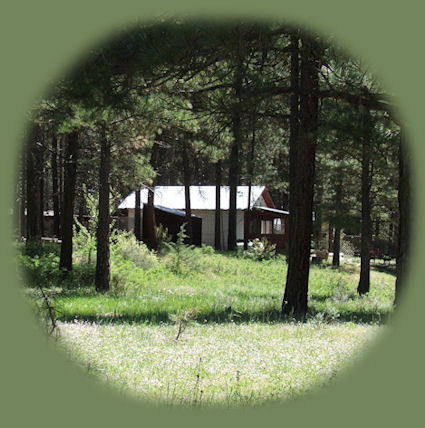
Cabin #3 at the retreat banked in June wildflowers, pictured to the right. Contact Brad at Gathering Light ... a retreat. | |||
