Travel the Willamette Pass, Hwy 58,
| |||||||
|
Forward ~ Directions to Gathering Light ... a retreat on the Willamette Pass, or Hwy 58 in the Cascades. Back ~ Travel Map of the Willamette Pass and the Umpqua Scenic Byway. Directory of Travel Directions to Gathering Light ... a retreat. |

|
||||||
|
Protect our National Forests and Wilderness Areas. Leave NO Trace! | |||||||
Scenery on the Willamette Pass | |||||||
|
|
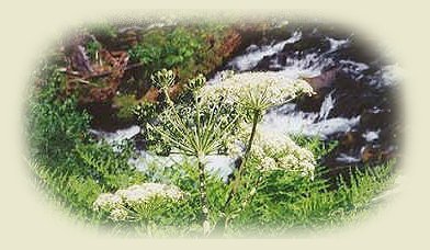
Page 1, McCredie Hot Springs, two rather large pools just off the highway. Clothing optional. Page 2, Salt Creek Waterfalls: Salt Creek Waterfalls offers a nice picnicking wayside & the trail to the waterfalls is wheelchair accessible. Page 3, Hiking Trails at Salt Creek Waterfalls in the Diamond Peak Wilderness Area. Page 4, Diamond Peak in the Cascade Mountains Odell Lake in the foreground: camping, picnicking, fishing, swimming, boating at Odell Lake. Page 5, Crescent Lake, off the beaten path: camping, swimming, boating, picnicking & hiking in the Diamond Peak Wilderness. |
||||||
|
Travel Oregon and northern California while staying at Gathering Light ... a retreat | |||||||

|
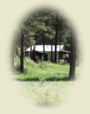
Cabin 2 at Gathering Light ... a retreat pictured. Travel to Gathering Light ... a retreat on the Willamette Pass, Hwy 58: Travel Directions and Map. Directions to & >Day Trips of about 100 miles from the retreat. Little known Scenic Places near to the retreat & Crater Lake: Travel Directions, Map & Scenery. Local Maps Introduction. |
||||||
|
Contact Brad at Gathering Light ... a retreat. | |||||||
