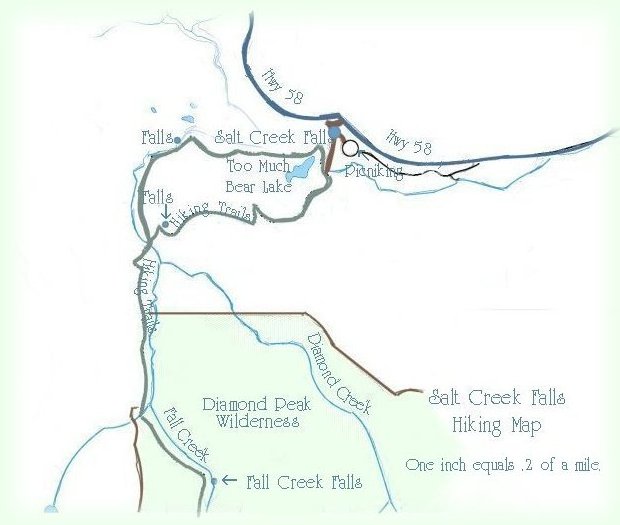
Salt Creek Falls Hiking Map | |||

|
Diamond Peak Wilderness Area Forward ~ Map of Hwy 58, the Wil- lamette Pass & Hwy 138, the Rogue Ump- qua Scenic Byway. Back ~ Scenery on the Willamette Pass, or hwy 58. USFS: The Willamette National Forest. The Day Use Area at Salt Creek Falls is a Fee Use Area: $5.00 per car; the loop trail does not include Vivien Lake and Fall Creek Waterfalls. It is 3.3 miles. Happily, Brad and I present the Travel Directions, Map and Scenery on the Willamette Pass through the Cascade Mountains of Oregon. | ||
|
Travel Oregon and northern California while staying at Gathering Light ... a retreat | |||
| |||
|
Contact Brad at Gathering Light ... a retreat. | |||