The North Santiam River,
| |||
|
| |||
|
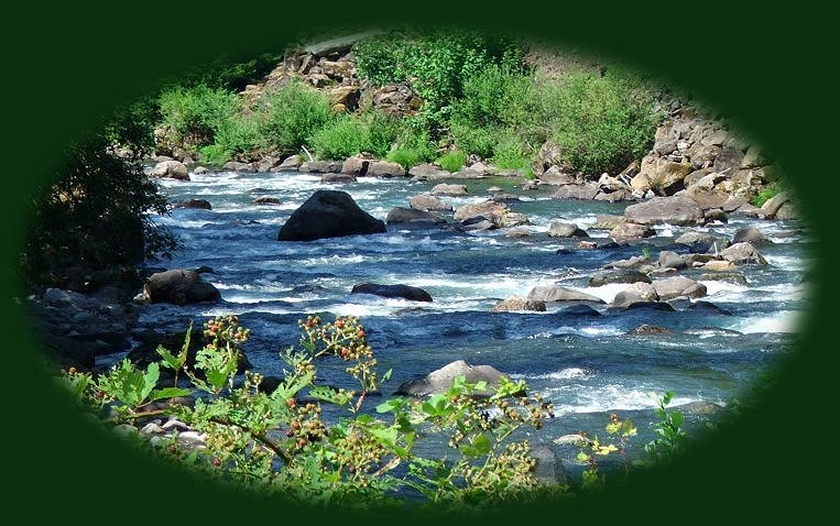
Wild Blackberries ripen on the banks of the Santiam River Take the leisurely route from Portland to Eugene Oregon. The West Cascades National Scenic Byway, 220 miles of wild and scenic rivers, thundering waterfalls, hiking trails, old growth forests and more. If you begin in Estacada, Oregon, near Portland, you'll travel alongside the Clackamas River; then the Breitenbush River. Perhaps you might want to exit the byway for a soak at Bagby Hot Springs, 67 miles southeast of Portland. If not, continue on the Breitenbush River. Breitenbush Hot Springs, privately owned, can be found along this route. Use of the hot springs is available for a fee. As your journey continues, you'll intersect with the Santiam Pass, and the north Santiam River. If you want to take a slight detour for boating, water skiing, fishing or whatever, Detroit Lake is a just little to the west of the byway. Continue on the Santiam Pass, which is hwy 22, until you see the sign for hwy 126, the McKenzie Pass. Turn onto the McKenzie Pass and head west. Not long into the route, you'll see a turnoff for Clear Lake, the headwaters of the McKenzie River. The lake lives up to its name. Travel a little further, and you'll see a sign for Sahalie Falls. Pull off. Even if you don't want to take advantage of the amazing Waterfall Loop Trail that follows the wild and scenic McKenzie River up and downstream for a 3 mile hike, just get out, and take in Sahalie Waterfall. It has a nice viewing station. From here you can walk downstream .5 mile to Koosah Waterfalls. It's a lovely hiking trail along the river, and it's short. When you've reached Koosah Waterfall, just turn around and walk back. If you don't want to do this, you can drive to the lookout for Koosah Waterfalls. It is also clearly marked on West Cascades Scenic Byway. If you like hiking, be sure to take advantage of the McKenzie River National Hiking Trail, which follows the river for miles. Otherwise, travel along hwy 126 until you see the sign for Cougar Reservoir. this will be a forest service road, paved, #19. It's only open in summer. This route is fantastic. It has Terwilliger Hot Springs, Cougar Reservoir, Old Growth Forests, hiking trails through old growth forests, many forest service campgrounds, the south McKenzie River, Roaring River, the wild and scenic north middle fork of the Willamette. Stop in one of the many swimming holes on the Willamette. It's beautiful. Enjoy yourself. You'll come out just west of Oakridge, Oregon. To get to Eugene, turn right hwy 58, and travel for 41 miles to connect with I-5 on the outskirts of Eugene. | |||
|
|
Forward ~ Marion Creek discovered on a turnoff Back ~ Mt Bailey and Diamond Lake viewed from the Diamond Lake viewpoint on the Rogue Umpqua Scenic Byway. USFS: Willamette National Forest. Explore the West Cascades National Scenic Byway: Travel Directions, Map: page 1 and page 2, and Scenery: offering mountains, hardened lava flows, wild and scenic rivers, waterfalls, hiking trails, hot springs, old growth forests, mountain lakes, forest service campgrounds. |
||
|
Travel Oregon and northern California while staying at Gathering Light ... a retreat | |||

|
Travel to Gathering Light .... a retreat on the West Cascades National Scenic Byway: Directions, Map and Scenery: hiking trails, waterfalls, wild and scenic rivers, mountains, volcanoes, hot springs, Oregon scenic byways, wilderness areas and more. Directions to & Day Trips of about 100 miles from the retreat. Little known Scenic Places to explore and photograph nature untrammeled: hiking with and without trails, wetlands, wildlife refuges, mountains, river gorges, wilderness areas and more near Crater Lake and the retreat: Travel Directions Map and Scenery. | ||
|
Contact Brad at Gathering Light ... a retreat. | |||
