|
| |
|
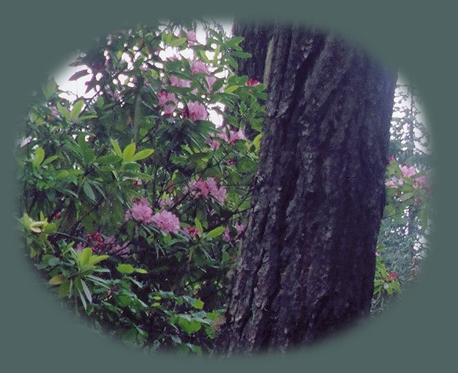
Wild Rhododendrons bloom in June at Toketee Lake and Hiking TrailsThe hiking trail to Umpqua Hot Springs from Toketee LakeA pool, 3'x5'x2.5' has been hewn out of the travertine deposits surrounding the springs. The last time I was there, it was sheltered by a roof constructed on four poles. It's been a long time though. We usually go for the less well-known hot springs, and this is a very popular place. Water temperature is 108 degrees. The springs are located on a bare rock face 150' above the North Umpqua River. The views are amazing all along the trail and certainly so when you arrive at the hot springs. You can view Surprise Falls across the river from the pool. Swimsuits are optional, and a primitive composting toilet is located near the springs. This hiking trail is part of the North Umpqua River Hiking Trail.Directions Eastern Trailhead: From Roseburg, Oregon, drive east on the Rogue Umpqua Scenic Byway. Look for the 58 mile marker, as well as the sign for Toketee Falls, turn north onto FS Road 34, Toketee-Rigdon Road. At the bottom of the hill cross both bridges, turn left. Go 2.2 miles, turn right on FS Road 3401. Drive .7 mile to a parking lot on the left. This parking area can accommodate six vehicles. I have been there when there is only one other person at the pool. However, I've also been there when there is parking in the parking lot. :-) A Northwest Pass is required to park in this trailhead. (I have conflicting information on the website for the Umpqua National Trailhead. One set of directions for the hot springs says there is parking for 10 cars at this trailhead. Not 6. Directions Western Trailhead: This is the Toketee Lake Trailhead, located 0.2-miles south of FS Road 34, Toketee Rigdon Road. It's on the right side of Toketee Lake Campground. Parking avialable for up to 8 vehicles. I have never begun from this trailhead. I would certainly remember the paraphenalia for the dam and hydroelectric generator hikers see from this route. The hiking trail from the eastern trailhead:Cross the foot bridge over the North Umpqua River to the trail. Turn right, in .1 mile you'll come to a junction, Turn to the right; climb a steep narrow trail for .2 mile. You'll come to another fork, turn to the right and climb another steep narrow trail for .2 mile. Again, you'll come to a fork, turn uphill to the left. You'll see the hot springs under a covered shelter. Protect our National Forests and Wilderness Areas. Leave NO Trace! | |
|
Forward ~ Hiking the trail to Watson Falls in the Cascade Mountains of Oregon. Back ~ Hiking trails in the Umpqua National Forest: Clearwater River. USFS: Umpqua National Forest. BLM: Roseburg Plan your visit to the many waterfalls and hiking trails in the Umpqua National Forest. Want to learn more about the campgrounds on the North Umpqua River and others in the Umpqua River watershed? The Clearwater River, true to its name, pictured on the right. |
|
| |
|
Travel on the Rogue Umpqua Scenic Byway to Gathering Light ... a retreat: Directions Map & Scenery. Experience the columnar basalt of Toketee Waterfalls, tumultuous Watson Falls ... the wild & scenic Umpqua River in the Umpqua National Forest. Arriving at the north entrance of Crater Lake National Park, enjoy Crater Lake too. Travel Directions to & Day Trips of about 100 miles from the retreat. Little known Scenic Places to explore nature: hiking, trails, wetlands, national wildlife refuges, mountains, wilderness areas, river gorges & more near Crater Lake National Park & the retreat: Travel Directions, Map & Scenery. |
|
|
The pinnacles at the south entrance to Crater Lake National Park, on the Crater Lake Hwy. Not far from the retreat. Contact Brad at Gathering Light ... a retreat. | |
