Hiking on the Interpretative Hiking Trail
through the Big Obsidian, Flow, Newberry National
Volcanic Monument in Oregon
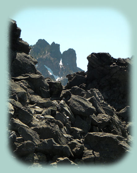
Broken Top in the Cascade Mountains of Oregon
Mountains, mountains, mountains everywhere, and especially visible from Paulina Peak. Unfortunately, the road to the top of Paulina Peak was closed due to snow when I visited, both this summer and last. I don't like this road very much at even the best of times; it's narrow and winding, cut in the side of the mountain. I hate meeting oncoming cars, with that let me say that you can't take big rigs up there. Even though I don't like it over much, I will drive up Paulina Peak one of these summers and take some good photographs. For now, we make due with photos, not even digital on the introduction page. :-) Even so, mountains can be seen when hiking on the interpretative hiking trail on the Big Obsidian Flow. I am pretty sure this is Broken Top. If you look carefully, you can see the tip of one mountain peaking out above the trees to the right of Broken Top. That would be South Sister, and to the left, not seen in this photo, is Mt Bachelor. Besides, Broken Top, as the name implies, has a truncated peak, and that is certainly the case here.
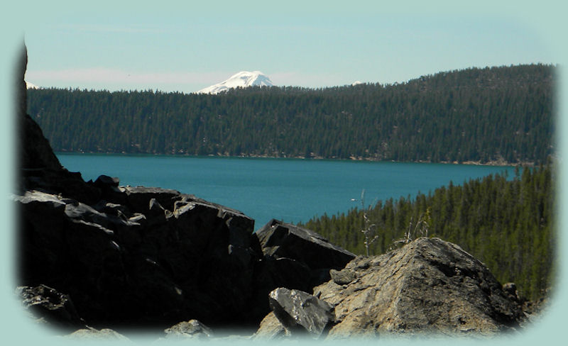
While both Paulina Lake and East Lake are visible from Paulina Peak, only Paulina Lake can be seen from the Big Obsidian Flow. As might be apparent here, it's rather large. Indeed Paulina Lake encompasses 1531 acres with an average depth of 163' and the deepest stretches measuring up to 250'. The white speck on the field of blue water is a sailboat. Both East Lake and Paulina Lake located within the caldera of Newberry Volcano,
a monumental geologic event that took over 500,000 years to create. In itself, the caldera is 5 miles in diameter.
Protect Our National Forests! Leave NO Trace!
To make sure we do it all, Check the 7 Principles of "Leave NO Trace!".
|

|
Forward ~
Nature's Artistic Touch: Hiking the Interpretative Hiking Trail on the Big Obsidian Flow at Newberry National Volcanic Monument in Oregon.
Back ~
The Big Obsidian Flow at Newberry National Volcanic Monument - I wish you could see it as it was when I first saw it.
USFS: The Deschutes National Forest in Oregon.
Explore Newberry National Volcanic Monument in central Oregon: Travel Directions, Map and Scenery.
Unending diversity in rock formations seen when hiking the interpretative hiking trail on the big obsidian flow at Newberry National Volcanic Monument in central Oregon.
|

|
Travel on the West Cascades National Scenic Byway to Gathering Light ... a retreat: Travel Directions, Map and Scenery: wild and scenic rivers, hiking trails, mountains and volcanoes, old growth forests and more.
Directions to and Day Trips in either Oregon or California of about 100 miles from the retreat.
Explore little Known Scenic Places near Crater Lake and the retreat: Travel Directions, Map and Scenery: hiking trails, river gorges, wetlands and wildlife refuges, birding trails, canoeing and more.
Website Directory
Page Listing
Home Page
|
|
Contact Brad at Gathering Light ... a retreat.
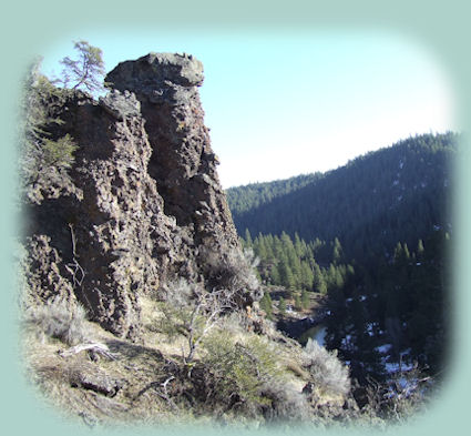
Hiking in the hills on the river (pictured above) about 3 miles from Gathering Light ... a retreat in Oregon. Rustic simplicity, a place to "Just Be", Gathering Light is nestled on the banks of the river, surrounded by the Fremont Winema National Forest of southern Oregon and not far from Crater Lake National Park.
|

