|
|
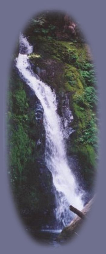
Hiking Trails:Hiking to Hemlock Waterfalls
| ||
Directions to Hemlock Waterfalls in the Umpqua National ForestIn Glide, Oregon, on Hwy 138, east of Roseburg, find the North Umpqua Ranger Station on the north side of Hwy 138, just across the street from the Colliding Rivers Wayside. From there head west about a .1 of a mile. See the Little River Road on the left. Little River Road is County Road 17 turning into Forest Service Road 27. Follow Little River Road (County 17 turning into FS 27) for 25.8 miles, 7 of which are gravel. This gravel road a well maintained on all the times we've gone back to hike to these falls. Arrive at Lake of the Woods campground. Parking at the trailhead of the hiking trail is found at the entrance to the campground. The hiking trail for Hemlock Waterfalls is located near Campsite #1. Yakso Falls hiking trail, #1519, is across Road 27, away from the campground. The trail for Hemlock Waterfalls is .4 mile long. The USFS rates it as more difficult. If one is accustomed to hiking, this is not a difficult hike. Someone with a heart condition could not do it. Someone with problems with joints might not want to seriously consider. Health conditions could make the hiking trails for both Yakso and Hemlock Waterfalls difficult. Otherwise, it's an easy hike to a beautiful waterfall. Lake in the Woods is a mountain &quor;lake" offering an unimproved campground with picnic tables, campsites, restrooms, no water, and of course, the trailheads to Yakso and Hemlock Waterfalls, as well. Other unimproved camping facilities are available at nearby Hemlock Lake. A hiking trail gives access to Hemlock Lake not far from from Lake in the Woods Campground. It leads to a waterfall, unnamed in some sources, named Clover Waterfalls in others. Regrettably, I've not taken this hike. I can give directions, however. Directions for the hiking trail to Clover WaterfallWhen you come to Lake of the Woods Campground, don't drive into the parking lot. Turn right on FS 27-421 just passed Lake in the Woods Campground, continue .2 of a mile to the trailhead for the hiking trail, #1505. Follow the trail 1.25 to the falls, and 2.25 miles to Hemlock Lake if you choose. The USFS rates the trail to this waterfall as most difficult.
| |||
|
Advertise Here! Travel on the Rogue Umpqua Scenic Byway to Gathering Light ... a retreat: Travel Directions Map and Scenery. Experience the columnar basalt of Toketee Waterfalls, tumultuous Watson Falls ... the beauty of the wild & scenic Umpqua River in the Umpqua National Forest. Arriving at the north entrance of Crater Lake, enjoy Crater Lake National Park too. Travel Directions to and Day Trips of about 100 miles from the retreat. Little known Scenic Places to explore and photograph nature untrammeled: hiking with or without trails wildlife viewing, wetlands, wildlife refuges, mountains, wilderness areas, river gorges and more, all near to the retreat: Travel Directions Map and Scenery. |
| ||
|
Wood River with Mt Scott in the distance, near the retreat to the right. Contact Brad at Gathering Light ... a retreat. | |||
